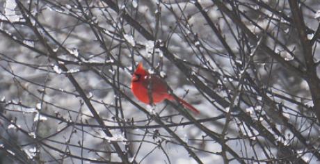
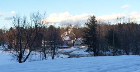

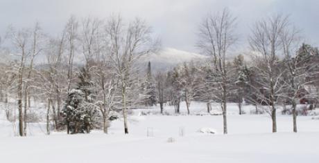


Local Trails and Sights
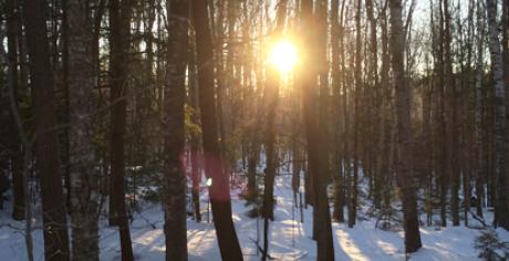
Camp Morgan Trail
There is a hiking trail running south along the shore of Millen Pond from the town beach to Chapel Cove. There is a new Nature Trail in the Camp Morgan Town Forest off Faxon Hill Road. Parking is on Faxon Hill Road near the radio tower and there are signs to guide you along the trail.
Map: Camp Morgan Town Forest Nature Trail Map and Guide
Pillsbury State Park Trails
Pillsbury State Park Trails
Pillsbury State Park General Information
Lovewell Mountain trail
Topo Map: VIEW MAP
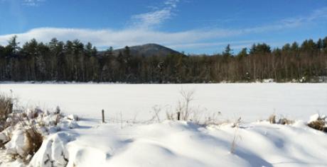
Monadnock-Sunapee Greenway
The Monadnock Sunapee Greenway Trail Club maintains the Monadnock-Sunapee Greenway. This greenway links Grand Monadnock and Mount Sunapee in southwestern New Hampshire. It is nearly 50 miles in length, winding along the Monadnock Highlands that divide the Connecticut and Merrimack River drainages. Created in 1921 by the Society for the Protection of New Hampshire Forests (SPNHF), the trail crosses through 3 State Parks and 6 campsites.
More info: https://www.msgtc.org
Map: https://www.msgtc.org/the-map/
Birthplace of the Seventh Day Adventist Church
and the Sabbath Trail
Info: http://www.sabbathtrail.org/
TAKE A VIRTUAL WALK
Map: HOW TO FIND THE TRAIL
Journey's End, Bell-Cofield Forest
Washington, 202 acres. Protected 1999. From Rt. 31 in Washington, turn on East Washington Rd. Continue about 1.5 miles to Washington Dr. Turn left and follow road to end. Property entrance is located at end of road.
Info on this property: View Link on SPNHF website
Washington Snow Riders Trails
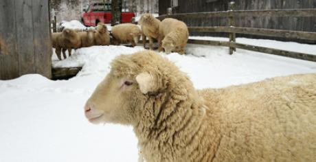
The Washington Snow Riders have a map of all the snowmobile trails in town posted at the beach at Camp Morgan.
Info at Washington Snowriders
NOTE FOR HIKERS: DO NOT hike on the roads in Lake Ashuelot Estates. They are private property and require association and property owner permission for use.
Please respect signs and property owners' wishes.